ONLINE *** PRODUCTS
Base Maps for your applications
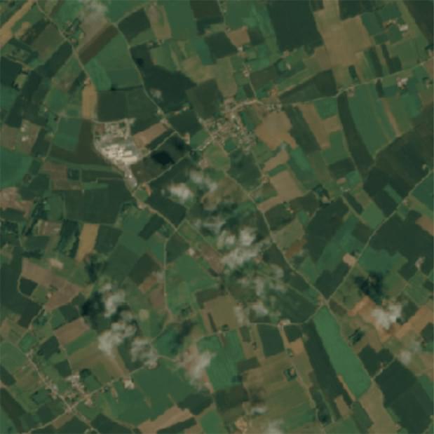
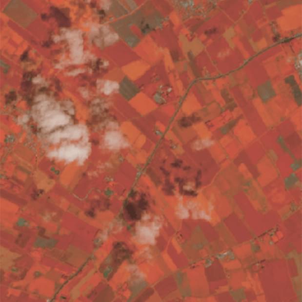
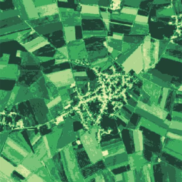
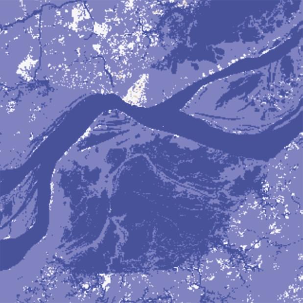
Created your own Base Maps with our simple APIs and tools. Maps consist of satellite images with different resolution and updated in nearly real time. Process them online to get True Color maps, NDVI for vegetation analysis, NDWI for water resouses analysis. Integrate maps to your apps via tile servers immediately.
TRY IT FOR FREEAPIs and tools
-

Query Language
Intuitive Query Language for operations with satellite imagery and embedding results to applications
Learn more -

Analytics
Visual tools of change detection, fire detection, vegetation index (NDVI) and many others.
Learn more -

Research
Analytic tools for boundless online computing and data processing with coding on Python
Learn more
Contact us
Contact us for any questions. We are here to provide you with support, new data, how-tos, cases etc. And we are opening for discussing a partnership.
Support center
info@openweathermap.org